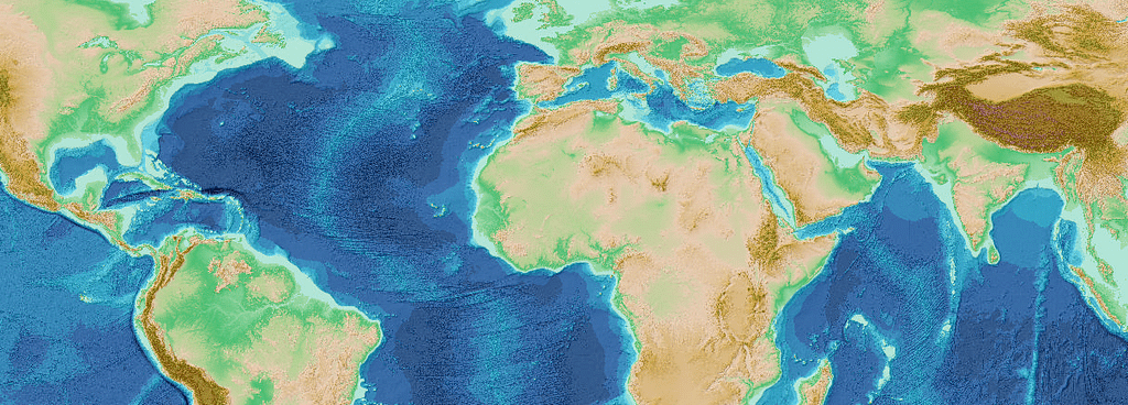
I often see gridded maps with a supposed resolution of 100m, even 5m in some cases ! Let’s be clear: it’s almost impossible. I will explain why with an example based on gebco bathymetric data.
On the gebco website it is stated that:
« GEBCO’s current gridded bathymetric data set, the GEBCO_2024 Grid, is a global terrain model for ocean and land, providing elevation data, in meters, on a 15 arc-second interval grid. »
it means that 1 arc-second = 1/60 arc-minute = 1/3600 arc-degree.
So, the distance for 1 degree in latitude is almost constant, although the distance in longitude varies from equator to poles. everything’s is explained here:
For example, at 17°N, the X distance (Longitude) for 1 degree is about 106 km. The Y distance (Latitude) from 17° to 18° is about 111 km. Check it there:
So, at 17°N : 106.34/3600*15 = 0.44 km = 440m in longitude and 111.2/3600*15 = 463 m in latitude
The grid produced by gebco is 440×463 m
It means that creating a 100m grid is a nonsense. And the resulting file will be enormous compared to the real resolution.
Retour de ping : How to get a 2D/3D view using SURFER – AurelienG