Processes in Structural Geology and Tectonics
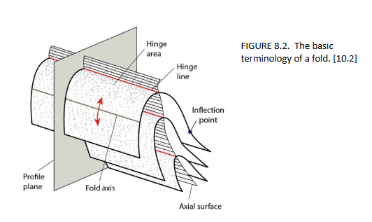
The book « Processes in Structural Geology and Tectonics » by Ben van der Pluijm and Stephen Marshak is now open access here: https://psgt.earth.lsa.umich.edu/
The book « Processes in Structural Geology and Tectonics » by Ben van der Pluijm and Stephen Marshak is now open access here: https://psgt.earth.lsa.umich.edu/
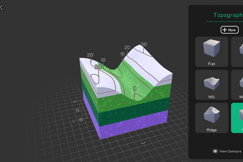
Have you tried Seequent’s NEW Visible Geology?
The Mississippi River has the third-largest drainage basin in the world, exceeded in size only by the watersheds of the Amazon and Congo Rivers. It drains 41 percent of the 48 contiguous states of the… Lire la suite »An impressive old map of the Mississippi River dated 1944
During the pandemia of COVID-19, field trips were all postponed. However, students still had to graduate at the end of the year. The skills acquired in the field would be missed. Most teachers had to… Lire la suite »Virtual Field Trips ?
Level: Master students Topic: Sedimentology – Sequence Stratigraphy This video is an experiment done at UNLV. It shows different phases of deltaic sedimentation, erosion, and sequence stratigraphy. The plans for this flume tank are at… Lire la suite »Deltaic sedimentation experiment
Here are some interesting softwares that are very useful for scientific publications (Please note that they are all free): Simplex Numerica: SimplexNumerica has been designed to make complicated numerical math, applied to big data analysis,… Lire la suite »Plotting softwares for scientific purposes
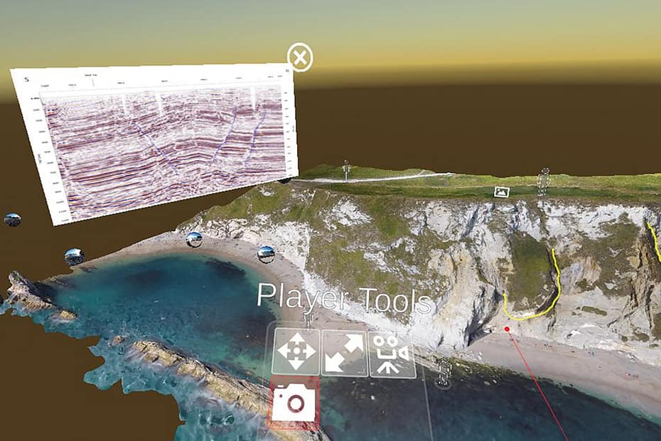
In fact, the first question is why ? One of the most important challenges in teaching geology is bringing the outside world into the classroom. During a pandemic, obviously, an inability to safely bring students… Lire la suite »What is Virtual Seismic Geology ?
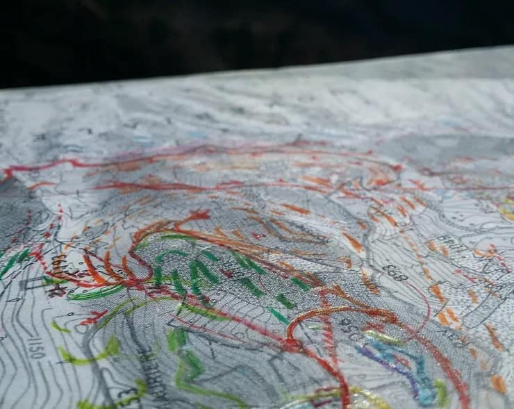
Geologic mapping is a highly interpretive, scientific process that can produce a range of map products for many different uses, including assessing ground-water quality and contamination risks; predicting earthquake, volcano, and landslide hazards; characterizing energy… Lire la suite »Geological Field Mapping at the University of Montpellier
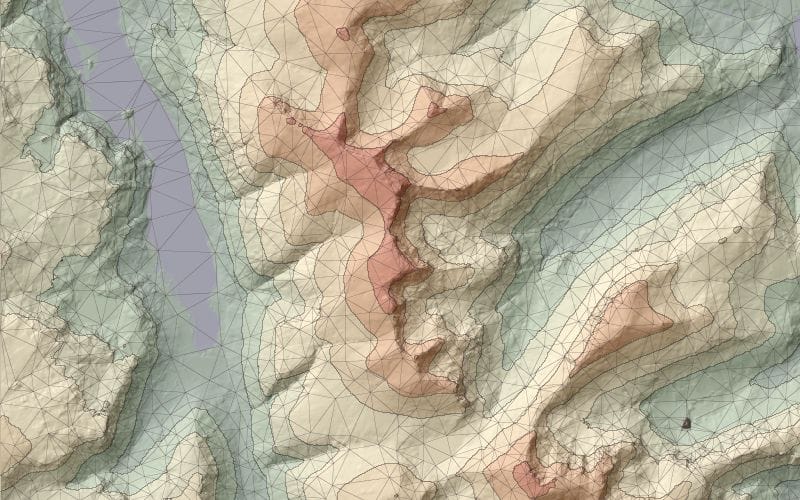
LandSerf is a freely available application for the visualisation and analysis of surfaces. Applications include visualisation of landscapes; geomorphological analysis; gaming; GIS file conversion; map output; archaeological mapping and analysis; surface modelling and many others.… Lire la suite »Free sofware: Landserf – Empowering geospatial exploration