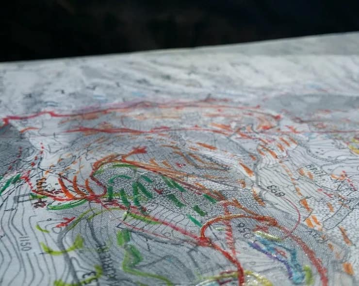
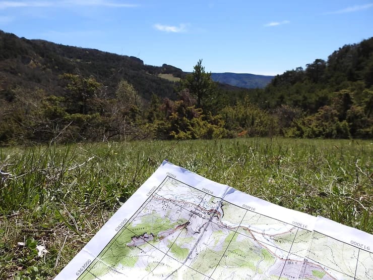
Geologic mapping is a highly interpretive, scientific process that can produce a range of map products for many different uses, including assessing ground-water quality and contamination risks; predicting earthquake, volcano, and landslide hazards; characterizing energy and mineral resources and their extraction costs; waste repository siting; land management and land-use planning; and general education.

Field mapping can be physically and mentally challenging. Although maps are two-dimensional sheets of paper, they portray the geology in three-dimensions. This is because most structures tend to dip or plunge and, therefore, one can infer the direction and degree of dip or plunge through outcrop patterns.
The art and science of geologic mapping involves the accurate depiction of contacts between rock units on a base map of some sort. This is what it’s all about – being able to draw a contact on a topo-map or air photo !

Field mapping is the ultimate application of the scientific method – a good field mapper is constantly testing predictions about the next outcrop and evaluating multiple hypotheses about the structure.
In France, the University of Montpellier in Earth Sciences is considered as a reference in field mapping in Europe and beyond because it is located between the Alps and the Pyrenees and most outcrops are accessible in a day. Our students go in the field almost every week ! At the end of each academic year a long (5 to 10 days) field camp is organized in order to test concepts acquired during the courses.