Every geologist remembers their first day of mapping: the compass that would not agree with the outcrop, the notebook page ruined by rain, the moment a contact “clicked” into place after an hour of staring at the same cliff. What is changing today is not the excitement of that moment — it is the tool in the student’s hand when it happens.
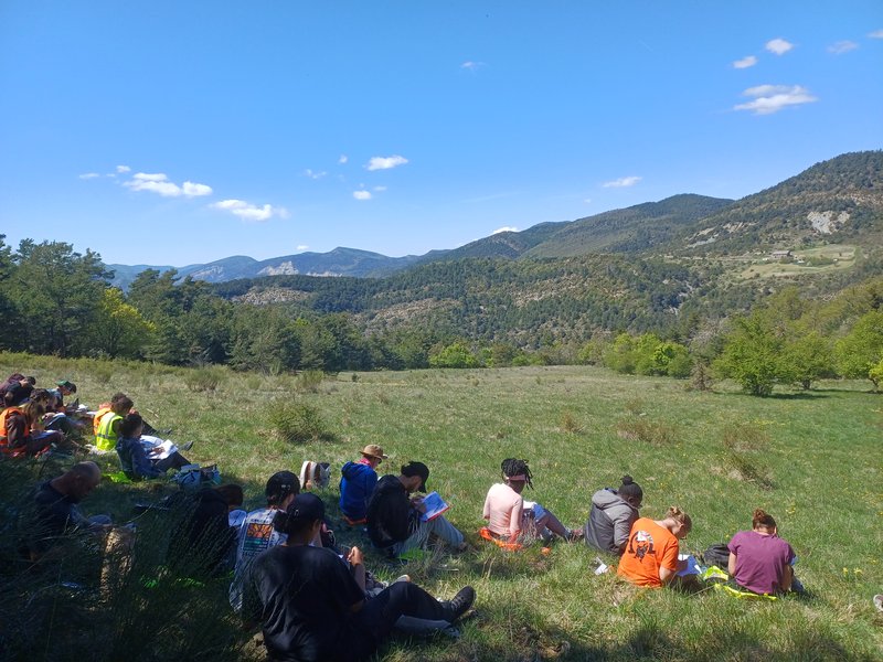
Fieldwork from L2: earlier than you might expect
At many universities, serious field mapping is still treated as something reserved for the final undergraduate years or for a dedicated summer field camp. We take a different view: our L2 (second-year) students go into the field early, well before they are asked to produce a publishable map.
This is not a shortcut. It reflects what geoscientists themselves report about their own training. A survey of professional geoscientists on the value of undergraduate field education found that field experience — and specifically the chance to observe, measure, and interpret rock in its natural context — is consistently ranked among the most valuable parts of an entire degree, more so than many classroom courses. Alumni working in environmental consulting and petroleum geology in particular describe field courses as the single most useful part of their training, precisely because that is where abstract concepts from lectures become physical, three-dimensional, and undeniable.
Starting early matters because mapping is a skill built through repetition, not a single course. A student who first faces an outcrop in L2 has two more years to refine how they observe before they reach L3, and a further two before a Master’s-level thesis. Waiting until the final year to introduce fieldwork compresses a skill that actually needs to be practiced, get it wrong, and be practiced again.
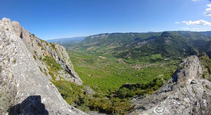
Mapping and facies recognition: the skill that carries everything else
Ask any field geologist what actually distinguishes a strong student from a struggling one, and the answer is rarely “they know more formation names.” It is almost always the ability to *see* — to recognize a facies change, trace a contact across broken exposure, and translate three-dimensional structure onto a two-dimensional sheet (or screen) without losing the geometry.
This is why we treat facies recognition and geological mapping as the backbone of the L2 field curriculum rather than an add-on. Learning to identify and map rock units and structures directly in the field is widely considered essential to the training of a professional geoscientist, because it is where students develop the observational judgment, spatial reasoning, and critical thinking that no textbook diagram can substitute for. Those same skills — reading a landscape, building a coherent 3D model in your head, defending an interpretation with evidence — are exactly what is expected of a student walking into an L3 field school or a Master’s mapping project. Students who arrive at that stage having already mapped several outcrops in L2 are not learning to map for the first time; they are refining a skill they already trust.
In other words, an L2 field trip is not preparation *for* field camp. It is the first module *of* field camp, spread out over three years instead of three weeks.
Going digital: the “field minute” replaces the field notebook
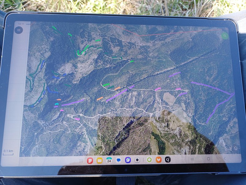
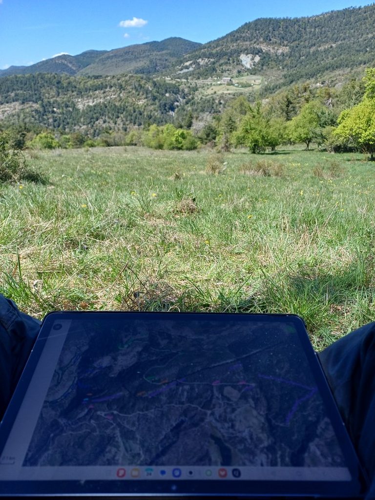
The most visible change on our recent outings is not methodological, it is physical: students carry a tablet, not a stack of graph paper. Georeferenced base maps, geological layers, GPS position, photographs, and handwritten notes now live in the same device that fits in a jacket pocket.
This mirrors a broader shift across the discipline. Geoscience departments and research groups worldwide have moved toward GPS- and GIS-enabled tablets for field data collection, using systems built specifically for the classroom and for research, such as GeoPad (developed for tablet-based field science education), StraboSpot (a free, open platform for structural field data, sketches, and photographs), and FieldMove (used in several European field courses, where students import official bedrock maps as background layers directly onto the device screen). Universities that have trialled these tools in field teaching report that students engage more readily with mapping once the friction of paper — smudged pencil, rain-soaked pages, the tedious digitizing step back in the lab — disappears.
What we are really doing, then, is replacing the *field notebook* with something closer to a *field minute*: a live, timestamped, georeferenced record of what was seen, where, and when, built as the day unfolds rather than transcribed afterwards. Paper has not disappeared entirely — a pencil sketch is still sometimes the fastest way to capture a fold geometry — but it is now the exception, not the default.
The real advantage isn’t speed. It’s the right to be wrong.
It would be easy to assume the main benefit of tablets is convenience: no more losing pages, no more redrawing a map back in the lab. That is true, but it misses the more important change in how students *think*.
On paper, a mapped contact is close to permanent. Once you have drawn a boundary in ink, revising it means crossing it out, or worse, discouraging a student from questioning their own first interpretation at all. A tablet built around layers works completely differently. Each interpretation — lithological boundary, structural trend, facies distribution — sits on its own layer, which can be turned on, off, edited, or duplicated without touching the underlying data or destroying the previous version.
This is precisely the workflow that specialists in digital geological mapping describe as its central strength: modern GIS-based tablet mapping lets students assemble a *draft* interpretation in the field and continue evaluating and revising it as new outcrops are visited the same day, rather than freezing an interpretation the moment it is drawn. A traverse that seemed to support one facies boundary in the morning can be reinterpreted after an afternoon exposure without erasing the record of the original hypothesis — both versions simply exist as separate layers, and a student can compare them side by side.
Pedagogically, this changes the emotional stakes of mapping. A wrong contact on paper feels like a mistake to hide. A wrong contact on a digital layer is simply a testable hypothesis, one among several, waiting for the next outcrop to confirm or overturn it. We tell our L2 students explicitly: draw the boundary you believe today, because tomorrow’s outcrop might prove you wrong, and that is exactly how geological mapping is supposed to work. Layers give students the room to be provisionally wrong in public, compare competing hypotheses honestly, and revise — which is a far closer approximation of how professional geologists actually work than the myth of the confident, correct-the-first-time field geologist.
From L2 to Master’s: building one continuous skill
None of this replaces judgment, hammer-and-hand-lens observation, or the discipline of actually walking the ground — a tablet does not see facies changes for you. What it does is remove the friction between observing, hypothesizing, and revising, so that students spend their limited field time thinking like geologists instead of fighting their own notes.
By the time our students reach L3 field school, and later a Master’s-level mapping project, they are not encountering digital field tools, structural layers, or the discipline of facies mapping for the first time. They are extending a practice they started in their second year — one traverse, one layer, one revised hypothesis at a time.
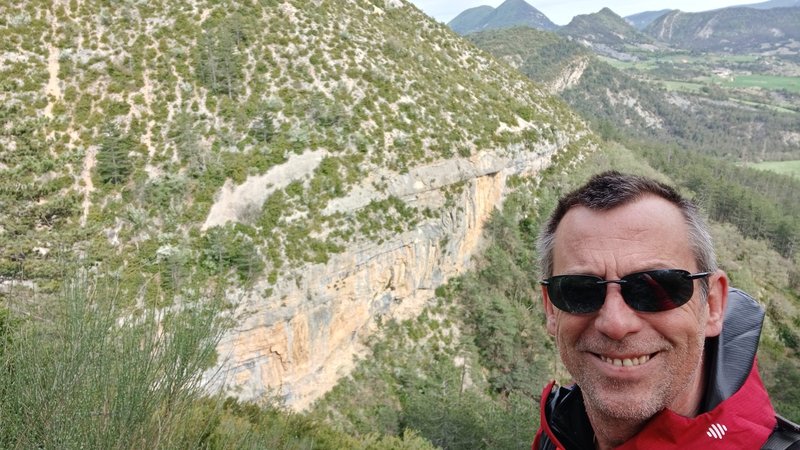
Orpierre Field Camp 2026
Sources and further reading: Geoscientists’ perceptions of the value of undergraduate field education (GSA Today); Digital fieldwork with FieldMove (Journal of Geography in Higher Education); The digital revolution in geologic mapping (GSA Today); GeoPad Digital Field Mapping System (UC Riverside); StraboSpot (EarthCube).