Kingdom is a very useful software for managing large datasets. The first step here is to create a new project. Click on « create new project »
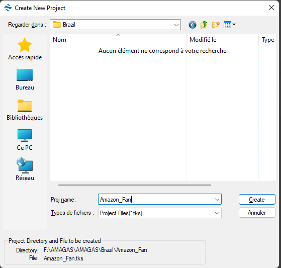
Choose a name at your convenience. Remember that you must keep all data in the same folder. Click ok
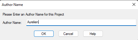
Choose a author name and click ok
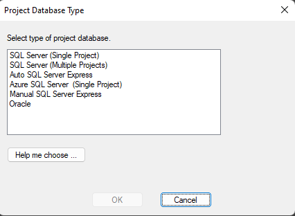
The database is very important. I’m using Auto SQL Server Express, but it depends on how comfortable you are with databases. Then click ok.
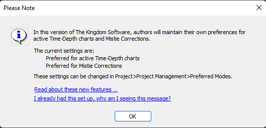
A warning will open. Read it and click ok.
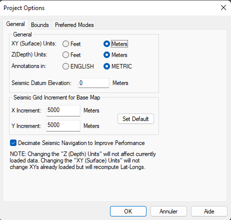
I’m using metric system as it’s the international standard (SI). X and Y increments are set to 5000 meters. You can also review bounds and prefered modes. These settings can be changed later. Click ok
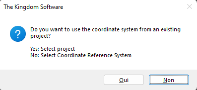
Here we will start from scratch, so click « No »
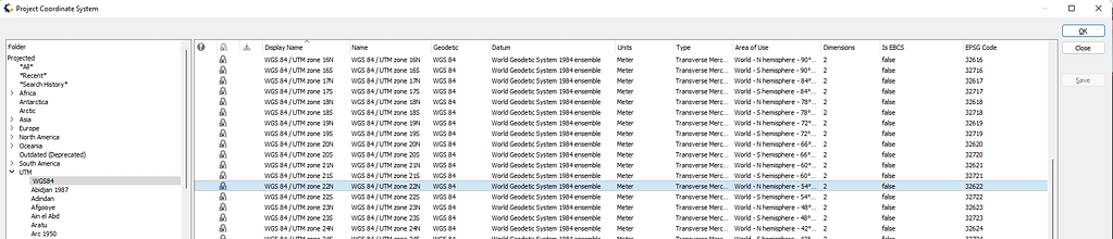
You must choose the right coordinate system correponding to your study area. Here it’s WGS84 UTM 22N, so it corresponds to EPSG code 32622
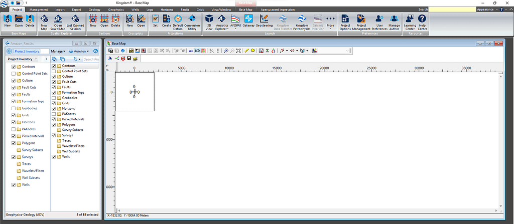
it opens two windows: On the left, this is the tree containing all imported/created items. On the right this is a base map (a map view).
At this stage, your project is empty and needs to be populated. In another article we will learn how to import seismic profiles with navigation file.
ENJOY !